The Architecture of Freedom: Myra Falls and Total Immersion
Driving toward the far reaches of Strathcona Provincial Park means accepting to leave behind the noise of the world and the social expectations that have weighed on me for so long. Behind the wheel of my Outlander, every kilometer traveled on Highway 28 acts as a decompression session. After twenty-four years of managing complex structures and sometimes exhausting human relationships, this journey to Myra Falls is not just a simple photographic outing; it is a quest for truth.
Here, between the jagged peaks and ancient forests, my ADHD no longer seems like an obstacle, but a compass. My mind, often fragmented by anxiety, finally finds its center in the raw contemplation of the landscape. The As I Am Photography project was born from this necessity: to show nature as it is, and to show myself, too, as I am. The Architecture of Freedom is precisely that: the ability to choose one's setting, to live in motion, and to transform every past failure into a new line of sight. By leaving the urban area to plunge into the wild heart of the island, I am not fleeing; I am finding myself. This narrative is one of two days of communion, where time stopped to make room for light, water, and skin.
The First Stop: Buttle Lake Boat Launch, the Silence of Dawn
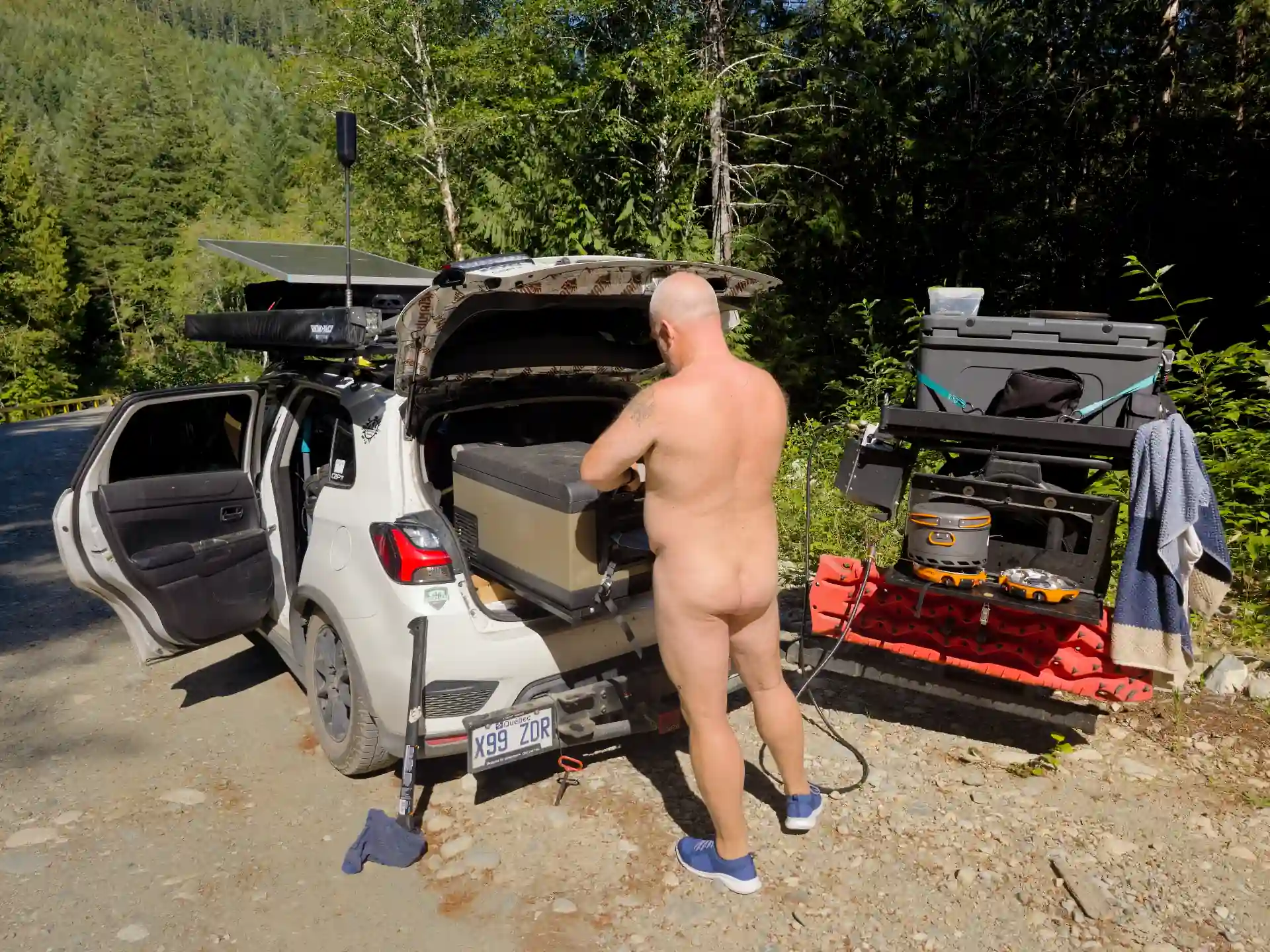
My first stopping point was the Buttle Lake Boat Launch. Arriving there at the end of the day is like watching the lake transform into a silver mirror. I parked the Outlander facing the expanse of water, taking advantage of the perfect setup for "vanlife." The sunset that evening was of an almost surreal splendor, an explosion of orange hues reflecting off the granite walls of the surrounding mountains.
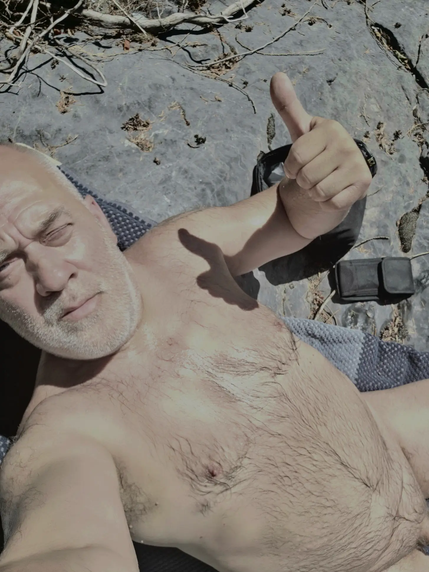
That sensation of water on skin, without the suffocating barrier of textiles, is for me the ultimate form of reconciliation with oneself. It was at that precise moment that I understood why Vancouver, and later Wreck Beach, would be my next steps: the right to live without artifice.
After this regenerative bath, I let myself dry in the sun, feeling every ray on my skin. The site has picnic tables ideal for preparing a simple meal while observing the last light of the day. It is a strategic spot for anyone looking to soak up the energy of Strathcona before tackling the more demanding trails.
Part II: Heading to Myra—The Route Between Sky and Water
The next day at noon, I resumed the road toward Myra Falls. The landscape is a true visual slap in the face. You skirt Buttle Lake, a majestic expanse about 23 kilometers long, whose turquoise waters contrast with the deep green of the conifers. This lake is dotted with numerous small rocky islands, solitary gems that seem to float between two worlds.
For those wishing to prolong the experience, the park offers two main campgrounds: Buttle Lake Campground and Ralph River Campground. The latter is particularly popular for its access to hiking trails. The lake is a paradise for fishing; you mainly find Cutthroat trout and Rainbow trout, an activity that requires the same patience as long-exposure photography.
In terms of accessibility, the road offers about 3 to 4 directly accessible beaches, ideal for a quick stop. However, the true treasure is discovered by water: more than a dozen secret little beaches and coves are accessible only by boat, offering total solitude. For hikers, the trail along the lake offers plunging views, but it is the approach to Myra Falls that remains the highlight of the show.
Part III: The History and Secrets of Myra Falls
Beyond the visual emotion, Myra Falls is an open-air geology lesson. To photograph a place well, I have always believed you must understand how it was built. These falls were not born of a simple geographical accident, but of millennia of erosive patience.
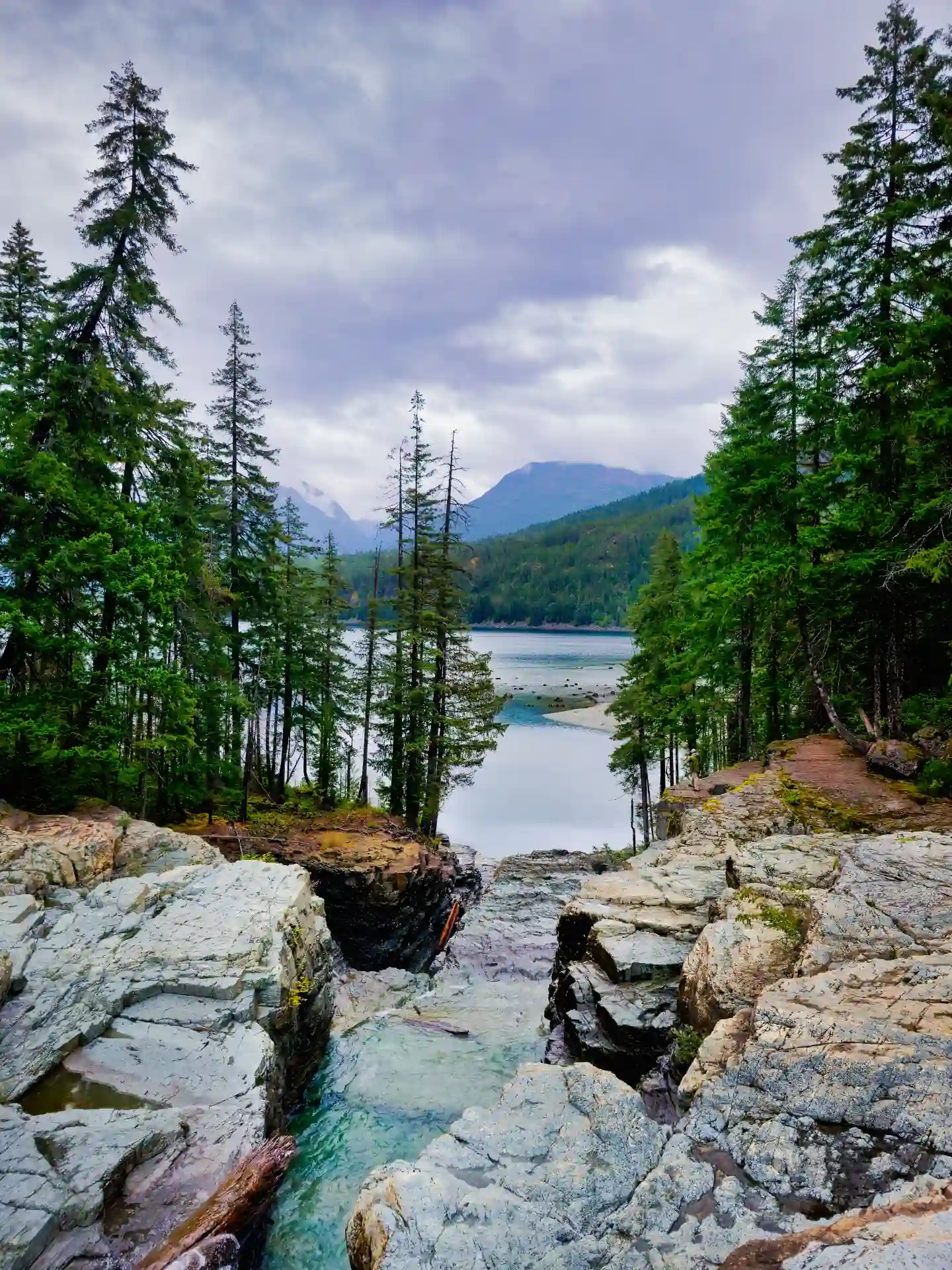
Geology and Formation
The bedrock over which the water flows is primarily composed of white limestone and volcanic rocks from the Vancouver Group. This color contrast is a gift for photography: the limestone acts as a natural reflector, while the darker rock creates deep shadows. The falls were formed by differential erosion, where water carved through softer layers of rock to create this labyrinth of tiers we see today.
The Origin of the Water and Potability
The water cascading down Myra Falls comes from the surrounding peaks of Strathcona Park, notably from snowmelt and glaciers from Mount Myra and Mount McBride. It is water of exceptional purity. Although mountain water looks inviting, the question of its potability is always delicate. Techniquement, it is very clean, but I always advise using a hiking filter or boiling it, as no wild stream is completely free of bacteria like Giardia.
Attendance and Services
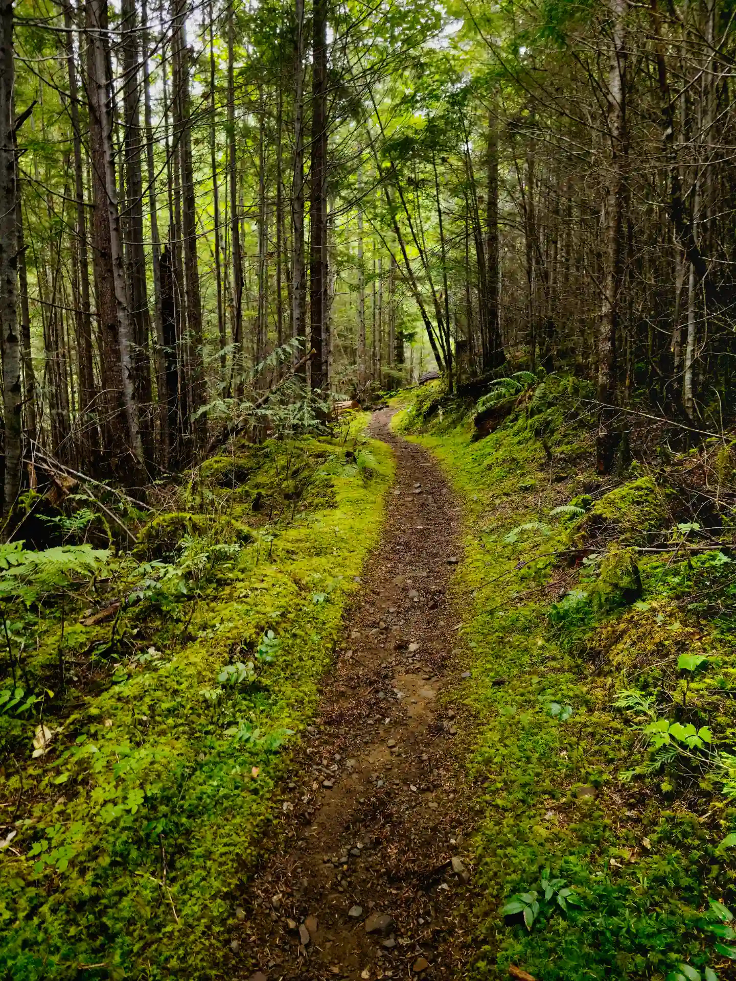
Although Strathcona is the oldest park in the province, Myra Falls remains a relatively preserved gem. It is estimated that the park receives several hundred thousand visitors a year, but Myra Falls, being at the end of the road, avoids the massive crowds of parks closer to Victoria. In terms of services, the experience is 100% rustic. There are no resorts or convenience stores in the immediate vicinity. You will find pit toilets at the trailheads, but that’s all. It is complete autonomy, which perfectly suits my Outlander configuration.
Attention: the cellular signal is non-existent once you go past Campbell River. It is a total digital silence, a forced disconnection that finally allows for the hyper-focus I seek.
Conclusion: The Resilience of the Current
This journey to Myra Falls, from my naked awakening under the Buttle Lake sun to the last click of my shutter facing the falls, is a metaphor for my own life. Water does not ask permission to pass; it finds the path, it adapts, it carves the hardest stone with silent perseverance.
Leaving this sanctuary to head toward the skyscrapers of Vancouver, I am not just taking digital files on my hard drive. I am taking a certainty: that freedom is a state of mind cultivated in silence and authenticity. My past, with its shadow zones and mistakes, is like this limestone carved by time: it is part of the structure, it gives relief to my image today.
Every print you find on asiamphotography.ca is permeated with this energy. When you hang a photo of Myra Falls on your wall, I hope you won't just see a waterfall, but an invitation to find your own 'flow,' to break your own shackles, and to live, finally, without filters. The journey continues, the light changes, and the Architecture of Freedom rises, one shot at a time. As I Am, today and for what follows.
The Practical Guide
To witness the raw power of Myra Falls is a privilege. To help you plan your own pilgrimage, I have compiled the essential logistics, ethics, and emergency contacts required to protect its millennial soul.
1. Trails and Points of Interest
- Lower Myra Falls Trail: Easy 1.5 km return trail leading to the stunning multi-tiered limestone falls.
- Upper Myra Falls: Steeper 6 km hike for a higher vantage point and deep forest immersion.
- Buttle Lake: 23 km long lake with 12+ secret beaches accessible primarily by boat.
2. Services and Amenities
- Camping: Ralph River and Buttle Lake campgrounds provide rustic nomadic setups.
- Pit Toilets: Basic facilities located at the trailhead parking lot. No running water.
- Pack It Out: Strict "Leave No Trace" policy enforced by the community to protect Strathcona.
3. Wildlife and Ecosystem
- Fishing: Cutthroat and Rainbow trout populate Buttle Lake. Proper license required.
- Mammals: Black bears, elk, and cougars frequent the Strathcona valley. Stay alert.
- Botanical: Home to delicate Maidenhair ferns and ancient limestone-loving mosses.
4. Plan Your Expedition
- Safety Gear: Bear spray is mandatory. Know your safety protocols before arrival.
- Photo Gear: Tripod for low-light limestone textures. Wide-angle for the lake reflections.
- Offline: Total cellular dead zone. Download all maps and guides in advance.
5. Nomad Companion Guide
- Leash Mandatory: Protect local wildlife and your companion.
- Paws on Boards: Protect micro-ecosystems and delicate mosses.
- Waste: Pick up immediately and carry it out of the park.
- Safety: Constant wildlife awareness (Bears/Cougars).
6. The Digital Toolkit
Before losing signal in the Strathcona valley, download these essential nomadic tools:
Essential for providing your precise location (3m x 3m square) to emergency services where trails have no address.
AllTrails (Offline)Critical for navigating loops without a cellular connection. Download maps before leaving Campbell River.
PhotoPillsPlan exactly when the sun will hit the limestone to avoid harsh contrasts for your shots.
WikiCamps CanadaFind the best bivouac spots and potable water points near the Myra road.